02 / Local government · Spatial information
Atlas
Start with a property. Make the next questions clearer.
The decision
What do I need to understand about this property?
Property research crosses parcel maps, district rules, environmental layers, and application requirements. My experience in land-use planning made that fragmentation familiar: finding a fact is only useful if you know how it relates to the question in front of you.
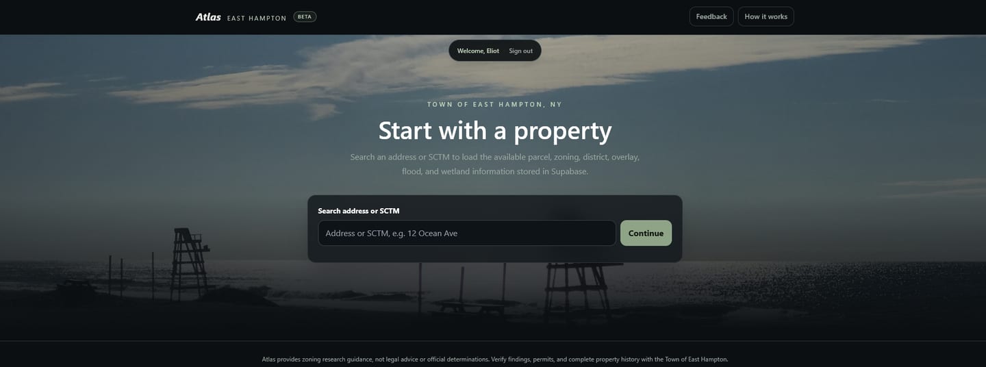
Atlas brings information together around an East Hampton parcel, helping someone identify conditions that need closer review.
What I built
A property snapshot with a practical starting point.
- 01 / Find the parcelSearch by address or tax-map identifier and select the relevant property.
- 02 / Assemble the factsBring parcel information, mapped overlays, and environmental flags into one view.
- 03 / Explore preliminary limitsUse the available property facts to show preliminary dimensional limits and conditions requiring attention.
- 04 / Take the questions forwardPrint a property snapshot to support further research and a better-informed conversation.
The design principle
A mapped condition is a prompt to investigate.
A flood or wetland flag can tell someone where to look more closely. A preliminary dimensional calculation can help frame the next question. An official determination requires its own process and evidence.
The interface should keep those distinctions visible, so a useful screening tool does not imply more certainty than its data supports.
Current capability and limits
Show what works, and where review begins.
The reviewed interface supports property search, mapped facts, environmental flags, preliminary dimensional limits, and printing. Free-form AI zoning answers and the saved-project assessment interface were disabled in the September review.
September checks confirmed GIS and screening refresh activity, while automated zoning-board updates were failing and historical case data remained incomplete. The presence of historical records does not establish comprehensive or current decision coverage.
The longer-term direction is better application preparation: connecting parcel facts to the measurements, documents, and questions needed for review. That broader readiness workflow remains incomplete.
What this work brings together
Planning knowledge shapes the software.
The organizing idea is the parcel, rather than a generic search box. That choice makes spatial data and rules easier to relate to a real situation, while keeping missing information and review needs part of the conversation.
Explore further